Wednesday, December 18, 2013

TARC Fells Trail Ultra Winter 2013 - Race Report

My First DNF


Start of the race at 7am, photo by Douglyss Giuliana

I went into the race with some confidence that I could finish the distance and do somewhat well with my time. The plan was to try to run consistently 1:20 to 1:30 for each of the five 8 mile laps until I was forced to slow down because of fatigue. My training hasn't been as consistent as it was before the TARC Fall Classic which was a race that I had on my radar for a long time. I ended up signing up on the waitlist for the TARC Fells race in late October and got in right away, quickly it became time to actually focus on running a 40 mile race.

After a planned layoff for 10 days in early November, I struggled for a week or two to get some speed back in my routine, then began to add on some longer runs. I felt pretty optimistic after running a semi-hilly 21 mile run at 8:15/mile pace on a favorite trail near my house. This course is a section of forest roads along the Wachusett Reservoir that Justin Contois and I used to run when he lived nearby, and I decided to do the 10 mile out and back twice to make the distance count as a long run.

The race consists of five 8 mile loops on the rocky Skyline trail in Middlesex Fells Reservation, race info here,.  Runners can choose to run the loop clockwise, counterclockwise, or alternate between the two directions - then come in and check in at the start/finish aid station.  There are no significant climbs, but many small ups and downs that total about 750' of gain along each lap. I ran an 8 mile race here as my second trail race in recent years (I ran cross country in junior high school and began running again in 2009), and remember the trail being unrelenting and mentally draining. That 8 mile race consisted of only one of the five laps I planned on running on December 7th.


Map and elevation profile, strava link here


At race time I had no intentions of quitting, my plan was to finish then immediately get to my work Christmas party to rehydrate and injest all the calories I expended at the Fells. The start was a little cool, probably 25-30 degrees, but not windy which made the clothing choices difficult. I discussed planned lap times with Eric Ahern and Jeff List before the race and decided to try to stick with Eric and Ryan Welts for as long as I could. This turned out to be only four miles as they were running a little faster than I felt comfortable with. I ended up dropping back before the first aid station (4.5mi) and running at a pace that I felt I could hold for the entire race.

Photo by Douglyss Giuliana

Photo by David Metsky

Photo by Edith Dixon

From the first aid station on, I ran the majority of the race alone sometimes crossing paths with people going in the opposite direction. I ran the first loop in 1:15 and the second loop in 1:20 and felt great. I was halfway through the third lap, around mile 20, when I started to doubt my decision to run the race. My legs were not starting to get tired yet, just some minor fatigue, but my mental state just wasn't in it. I have never felt so much like quitting a race before and once I returned to my car after the third loop at approximately mile 24, I decided my day was done. I ended up finishing my third lap in 1:30 and by that time was not far ahead of the number 4 runner - whom I saw come in and leave the aid station quickly. I have run plenty of loop courses before, but I don't know if this decision came because I did not have my heart fully into this race or because my training wasn't going as well as in the fall (short layoff and I had yet to get some speed back). Whatever it was, I am not doubting my decision to quit, but it still bothers me that I couldn't finish what I set out to do that day.

 
I am using this as a learning experience and at least I was able to get a good long run in for the day. I had a fun time out on the trails and the race was organized perfectly by the Trail Animals Running Club (TARC). I was down on myself at first because I was still in third place after three laps, and began receiving messages from my wife and Justin either teasing me (my wife) or trying to talk me into getting back out there, but I had already made my mind up. I decided to take a little time off after the race and prepare for a comeback at the GAC Fat Ass 50k course in January. I figured this would be a good goal for a redemption race, another loop course that I have run once before and hopefully I could improve on my time from last year.

All the organizers and volunteers did a great job and provided everyone with an excuse to get out on the trails for many hours through their support. It was a great race and I will definitely be back to finish the 40 mile distance next year. 

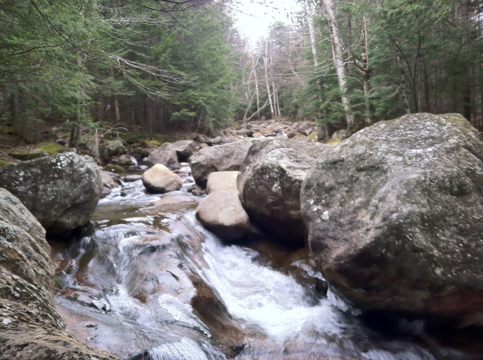
Here's some photos from some points along the trail:


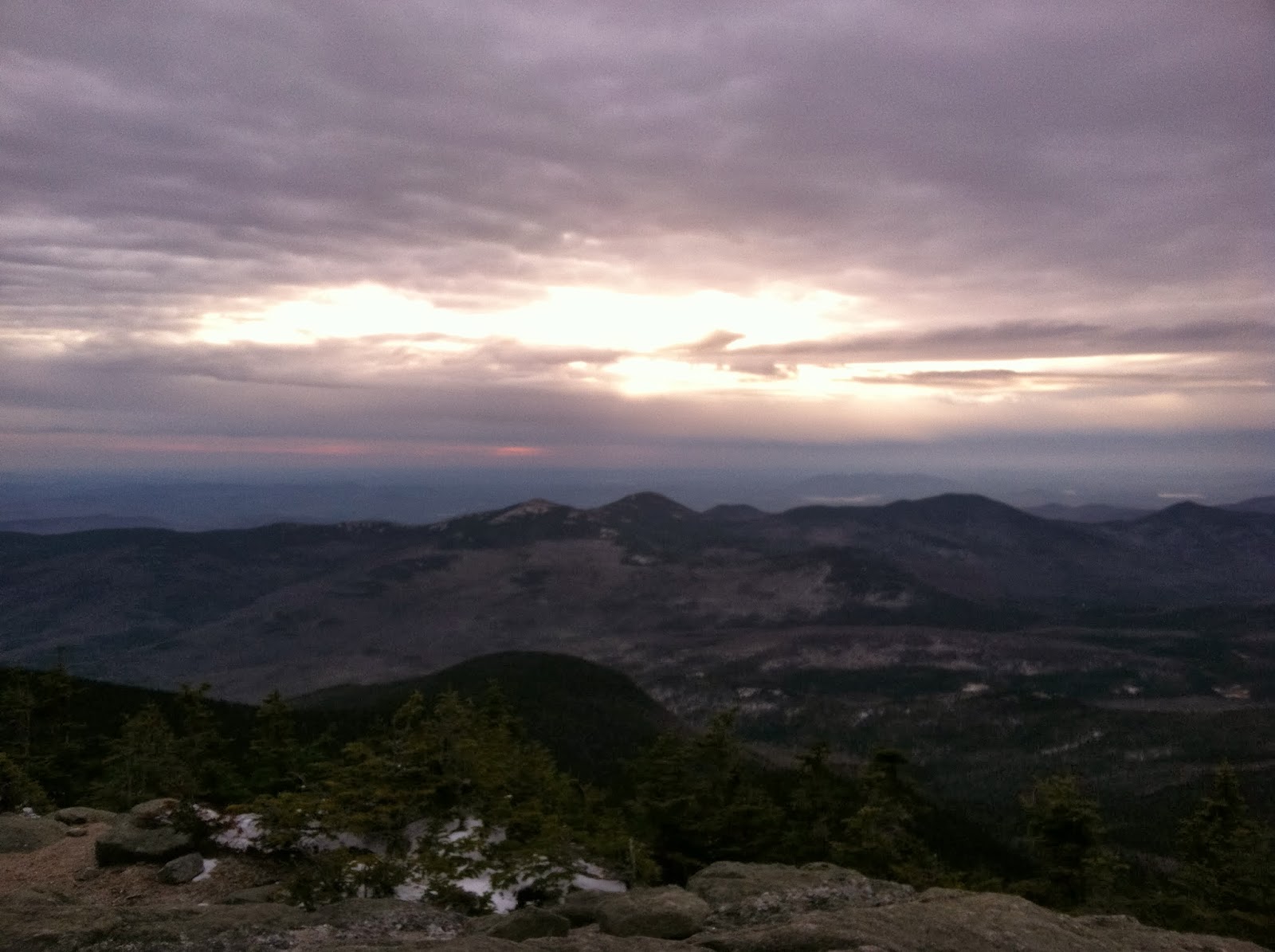
View of Boston from a high point along the trail, near the tower I think


Tuesday, December 3, 2013

Training Run - Wildcat A, Carter Dome, Mt. Hight

My wife and I traveled to Dana Place Inn, about 5 miles South of Pinkham Notch NH, for the weekend of November 15-17. For the few weeks prior, I had been planning a run in the mountains nearby. I was looking for 12-15 miles with a decent amount of gain to a few 4,000' peaks. I finally settled on a run up Nineteen Mile Brook Trail to Carter Notch and then towards Carter Dome, South Carter and Middle Carter then back down the Imp Trail with a short road section to the car. These are new peaks to me and I have never spent any time on the Wildcat or Carter Range, it was long overdue.

Starting out on 19 Mile Brook Trail
The plan was to start around 4AM and run for 4 hours to be back in time to start the day with the kids and my wife. I started out by jogging up the moderately inclined trail for the first few miles to Carter Notch (~3,288'). The snow cover began almost immediately and didn't get too deep until I got above the notch. I arrived at the notch about 3.5 miles in around 50 minutes and went over to the Carter Notch Hut to check it out. It was still early and dark inside so I didn't enter and risk disturb anyone sleeping inside. I turned around at the hut and headed back down to Carter Lakes, remembering that I spotted a sign to Wildcat A that said .7 miles to the summit. I decided to change my plans and travel to Wildcat A and Carter Dome, heading back down over Mt. Hight to link back up with the 19 Mile Brook Trail. This would allow me to check out Carter Notch in the daylight on my way up to Carter Dome's summit. How hard could 0.7 miles be, right?

I ended up slogging up the trail to Wildcat A at a extremely slow pace making my way through the increasing snow and ice underneath. I attached my Microspikes to my shoes for better traction through here and scrambled up past snowshoe hare tracks as daylight began to get brighter. After finally arriving at the summit, I was delighted to learn that there was no wind at all and I shut off my headlamp to take in the surrounding mountain silhouettes.

Starting to get light at Wildcat A summit vista (4,422')
I spent a few minutes at the summit and began slowly making my way down through the steep descent into the notch as the sun came up. The early morning light started as a shade of blue initially,  slowly lighting up my surroundings until I reached Carter Lakes.
Heading back down to Carter Notch


Carter Lakes


Looking over one of the Carter Lakes to Wildcat A
I began the ascent of Carter Dome from the notch which starts to get steep right away. This was another slow ascent through deepening snow, but the footing was better. Eventually making my way through to the summit cairn, I stopped and checked out the views of the Presidential Range. The amount of time I had been out was getting long due to the slow pace I was managing, so I decided to go to Mt. Hight's summit and head back down to the car after that. I would plan on saving South and Middle Carter for another day, hopefully with my wife.

Some of the steep sections leading up to Carter Dome


Snowy trail leveling out towards the summit
Carter Dome summit cairn (4,832')
Views West over the Baldfaces
Mt. Hight summit looking back at Carter Dome
Mount Washington starting to get frosty


Mt. Adams and Madison

Looking over the Carter Range
Zeta Pass, 3.5 miles left to get to the car

19 Mile Brook Trail


GPS Track, miles 4-5 and 6-7 were at a snail's pace

Elevation vs. slow pace
Strava info here:  http://www.strava.com/activities/95367227

The trip was fun, it took me a little over 4 hours total with all the resting that I did along the way. As I get ready to run the 40 mile Fells Trail Ultra in Middlesex Fells on December 7th, I planned on mixing in more hills to help prepare for the elevation gain I would see at the race. I haven't run at Middlesex Fells since my second trail race back in 2009 when I ran the 8 mile option.

Wednesday, October 23, 2013

TARC Fall Classic 2013 Race Report 10/19/13


I ran the 50k distance at the TARC Fall Classic race in Carlisle/Chelmsford's Great Brook Farms. Check out the writeup on Far North's website HERE.

Here is a breakdown of my training over the last 12 weeks:

7/29 - 8/4: Recovering after the Bear Brook Marathon, Easy runs (44 miles total, 2,566' climb)

8/5 - 8/11: Tempo, easy runs, and long at the Monoosnoc Trail (44 miles total, 7,480' climb)
8/12 - 8/18: A few easy runs, long hill repeats at Wachusett Mtn. (52 miles total, 6,730' climb)
8/19 - 8/25: Hill repeats Monday, then off until Semi-double Presi Traverse attempt (35 miles total, 11,870' climb)
8/26 - 9/1: Recovery week, easy runs with Mt. Chocorua climb Sunday (23 miles total, 3,725' climb)
9/2 - 9/8: Easy stroller jogs with long run at Wapack Trail (42 miles total, 5,424' climb)
9/9 - 9/15: Tempos, easy runs, hill repeats, long run in Douglas, MA to North South Trail (57 miles total, 2,803' climb)
9/16 - 9/22: Hip was nagging me, recovery week then a hill session at Pleasant Mtn. Maine (17 miles total, 5,840' climb)
9/23 - 9/29: Tempo runs, intervals, fartlek (41 miles total, 2,014' climb)
9/30 - 10-6: Longer tempos, hill repeats, and a second visit to Pleasant Mtn. (50 miles total, 8,502' climb)
10/7 - 10/13: Easy runs, long tempo run with Mt. Wachusett climb (45 miles total, 4,513' climb)
10/14 - 10/20: Easy runs, tempo and race, with shakeout run Sunday (61 miles total, 4,740' climb)

I am a strong believer in elevation/climbing in training and even though I live in central Mass. where it is not that hilly, I try to fit in as much climbing as possible in my runs. It seems to help with my leg strength when I encounter hills as well as assisting in breathing control. I started using Strava as a tool to measure my runs rather than just guessing and writing them down on paper and never really knowing the climbing that I had been doing.

The climbing should be helpful for the five loops along the Skyline Trail at Middlesex Fells on December 7th.

Elevation profile
Early morning light over the field


The Yeti (Anthony Parillo this time) awaits the runner


Registration Barn


Afternoon sunlight


Formwork near the finish line


After the finish

Starting to get warm out

Wednesday, October 2, 2013

Training Run - Pleasant Mountain Maine trail review 9/21/13


My wife, kids, and I have been going up to the Western shore of Sebago Lake area of Maine for the past two summers, staying at and helping to renovate her parents' cabin. Each time we go up, I try to explore more of the area's trails or head over to the White Mountains for a run. Thinking this might  be the last time we go up this summer, I decided to check out a local mountain that is about half an hour away in Bridgton.
Trail map, courtesy Loon Echo Land Trust (www.loonecholandtrust.org)


Pleasant Mountain (link to trail map here), which is home to Shawnee Peak Ski Area on it's Northern flank, is 2,006' above sea level and is the tallest mountain in the area. Planning my trip I saw that the climbs from trailheads were about 1,600-1,800' to the summit, so I planned on doing four summits which I thought would take around 3.5-4 hours. This is similar to my typical hill repeat sessions at Mt. Wachusett, but with the lower trailhead elevations there would be almost double the elevation gain per summit climb. It turned out that there are four main trails up the mountain, one from roughly each compass point, so the logical choice would be to try to do a climb from each.


I parked on Mountain Road to head up the Ledges Trail first, which presumably gets it's name from the ledges a person encounters about 1.25 miles in, offering views to the south. The first pass I made by this area occurred while the sun was rising and I was able to get some good photos of the undercast clouds, which ended up sticking around all day. I was able to catch some interesting colors as I ran by some of the overlooks as the sun rose. I was delighted that this trail had the characteristics of a White Mountain trail with many rocky obstructions and general terrain that kept my eyes looking down to pick my lines through the dark. Reaching the summit in just under half an hour, I wandered around and took some photos of the early morning views as the sun was beginning to light up the surroundings with a purple hue.


Sun beginning to rise above the clouds
Heading down towards the Southwest flank of the mountain is the Southwest Ridge Trail. This trail turned out to be a good mix of extended rock slab running through trees and grassy sections and had a decidedly different feel than the Ledges Trail. Thankfully the slabs were dry and allowed me to quickly descend to the base of the trail at Denmark Trail with no incidents. It was fun running through these sections as the sunlight came up and rays lit up the trail from the East.


Rocky slabs

Running down Southwest Ridge Trail on the rock slabs


I reached the base of the Southwest Ridge Trail and took a breather for a minute before the climb back up to the summit. I was trying to keep my pace and effort level steady enough to have this run pass as good training as I made my way back up through the rocky slabs and grassy sections.

Base signage at the Southwest Ridge Trailhead

Coming back up the Southwest Ridge Trail

Nice sunlight through a grassy section of the Southwest Ridge Trail

Slab sections, great to run on

Loon Echo Trek sign
Arriving at the summit, I took even more photos of the clouds with taller mountains peeking up through them - I couldn't get enough of them. I headed out on the Bald Peak Trail that would direct me towards the ski area side of the mountain. I planned on bypassing the trail that took me to the ski area though because of the time and wanting to get back to my family at a decent hour.
Looking towards the Presidential Range in New Hampshire at the summit

Sea of Clouds
The Bald Peak Trail offered a different type of terrain and tree cover. This trail had a coastal type feel with open rock slabs, sandy soil and scrub pine trees. The sun was starting to warm up the morning, but the breeze kept the running comfortable. I made my way down the Bald Peak Trail which was easy running until I arrived at the point where Sue's Way cuts off to the left and Bald Peak continues down to it's trailhead. The next .3 of a mile became extra steep and reached grades of around 45% in some areas. This is where I took a fall on some of the wet rocks and roots and got a small scrape on my hand that started to bleed a bit. I became a little more cautious as I slowed to a crawl on this section. After a while the trail improved and I started jogging again down to the base.

Coming down the through the scrub pine ridge


The "Needles Eye", a small river canyon with approximately 60 foot high walls
Climbing back up took a long time, as I was starting to feel some of the climbing I had already done in my legs. The summit push was uneventful, back up the same trail. I headed back down the Ledges Trail and called it a day at the car.
Terrain diversity


One of the runnable sections of the Bald Peak Trail


GPS track image
 
Elevation profile, there were some sections of 45% grade on Bald Peak Trail. Note the super slow pace on the last climb in that section.
Totals for the day: 14.3 miles, 5,760' climb, 3hrs. 2 minutes, avg. pace at 12:43/mile