Manitou’s Revenge 54 Mile Ultra was on my mind from the day
I signed up in February of this year. Steep terrain, unfamiliarity with the
course/area, and potentially warm weather all were factors in this race’s
difficulty as well as already knowing about its notoriety from other runners accounts
before. My wife and I decided to make it a destination race this year, bringing
the kids, and use it as an opportunity to explore the Catskills area of New
York for the first time. It would be good to have people cheering for me and assisting
me at key spots in the race to help me get through the day and in good spirits.
 |
| Manitou's Revenge 54 Mile Ultra profile, 13,500' of climbing |
A big preparation run for me was in order a few weeks prior
to the June 18th race date and I planned out a loop exploring some different areas through the Wildcats and Carters range of the White Mountains in NH. I wanted to
attempt a route that would have around 10-12,000’ of climbing and would take
me anywhere from 10-12 hours to complete, and the loop that I put together did
not disappoint on both factors. The plan was to go up the Wildcat Ski Area
trails and across the Wildcat Ridge Trail to Carter Notch Hut, following the Appalachian Trail up Carter Dome, Mt.
Hight, and the remaining Carters to Moriah Brook Trail on the side of Mt.
Moriah. Then I would head down a 5 mile downhill into Wild River Valley before
coming back up about 3,000’ to Carter Dome via the Black Angel Trail. From
there, I would repeat the first section I came across from Carter Dome back to the
Wildcat Ski Area.
I got to the trail head at 3AM and started my trip out in
style by forgetting that I took my map out of my bag and placed it in the van. Thankfully I remembered
that fact about a half mile in, headed back downhill and got my map only to start over on the trip. After retrieving
the map, I started to make my way up Wildcat’s Polecat Trail in the less than
20’ visibility through fog. The temperatures were balmy at 64 to start and
light winds, with the forecast being in the clouds for part of the day and
a low threat of rain. The trail was pretty easy to follow although I did
take one wrong turn on a different trail and just kept going up before meeting
back up with the Polecat Trail. I made it to the top of the mountain in 45
minutes at a decent pace and came across the Wildcat Ridge Trail in the dark over
the wet rocks and roots. Getting to the vista at Wildcat A before sunrise didn’t
offer any views except of someone sleeping in their bag, whom I tried not to
wake.
 |
| Carter Notch Hut, from later in the day |
I made my way down from Wildcat A to Carter Notch and the hut to fill my bottles quietly and head out on the next climb to the highest point of the day at Carter Dome (4,832'). This climb I have done one other time in 18" of snow and was prepared for the ~1,500' steep slog. Once arriving at the summit I planned to visit Mt. Hight, home of the best views in the Carter Range. At Hight I encountered an irate Ruffed Grouse and kept my distance, since I've heard these animals can chase people down if you get too close.
 |
| Carter Dome summit clearing in the clouds |
 |
| Presidential Range in the distance above the trees at Carter Dome |
 |
| Ruffed Grouse, or mountain chicken, strutting around near the summit of Hight |
 | |||||||||
| Presidentials clearing from Mt. Hight |
 |
| Clouds blanketing the Carters |
 |
| Daylight piercing through clouds along the Carter-Moriah Trail |
 |
| Typical trail conditions along the Carter-Moriah Trail |
 | ||||||
| More views somewhere between Middle and South Carter Mts. |
 |
| Sea of clouds covering the Maine line |
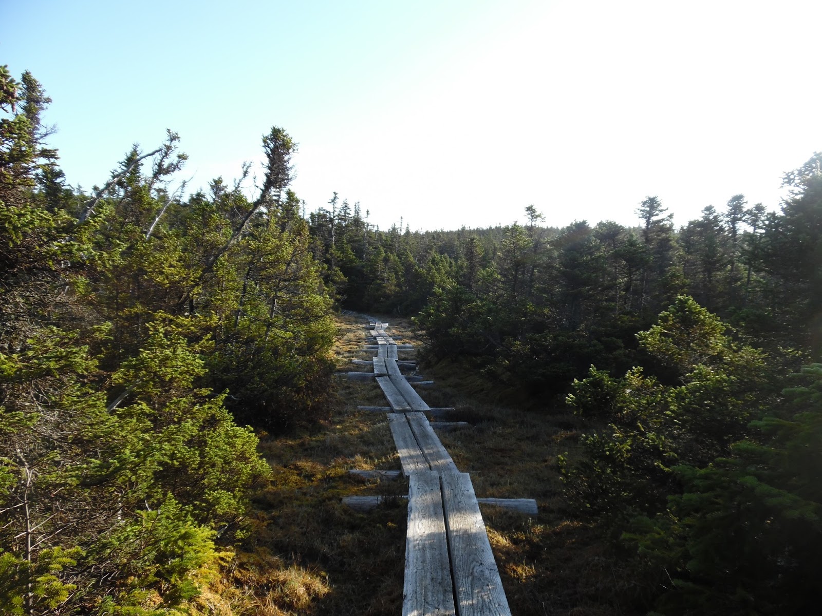 |
| Nice section of bog bridges approaching Imp Shelter |
 |
| Wild River Wilderness border, just as I dropped down 3,000' into the Wild River Valley along the Moriah Brook Trail |
 |
| Moriah Brook |
 |
| Painted Trillium along Moriah Brook Trail |
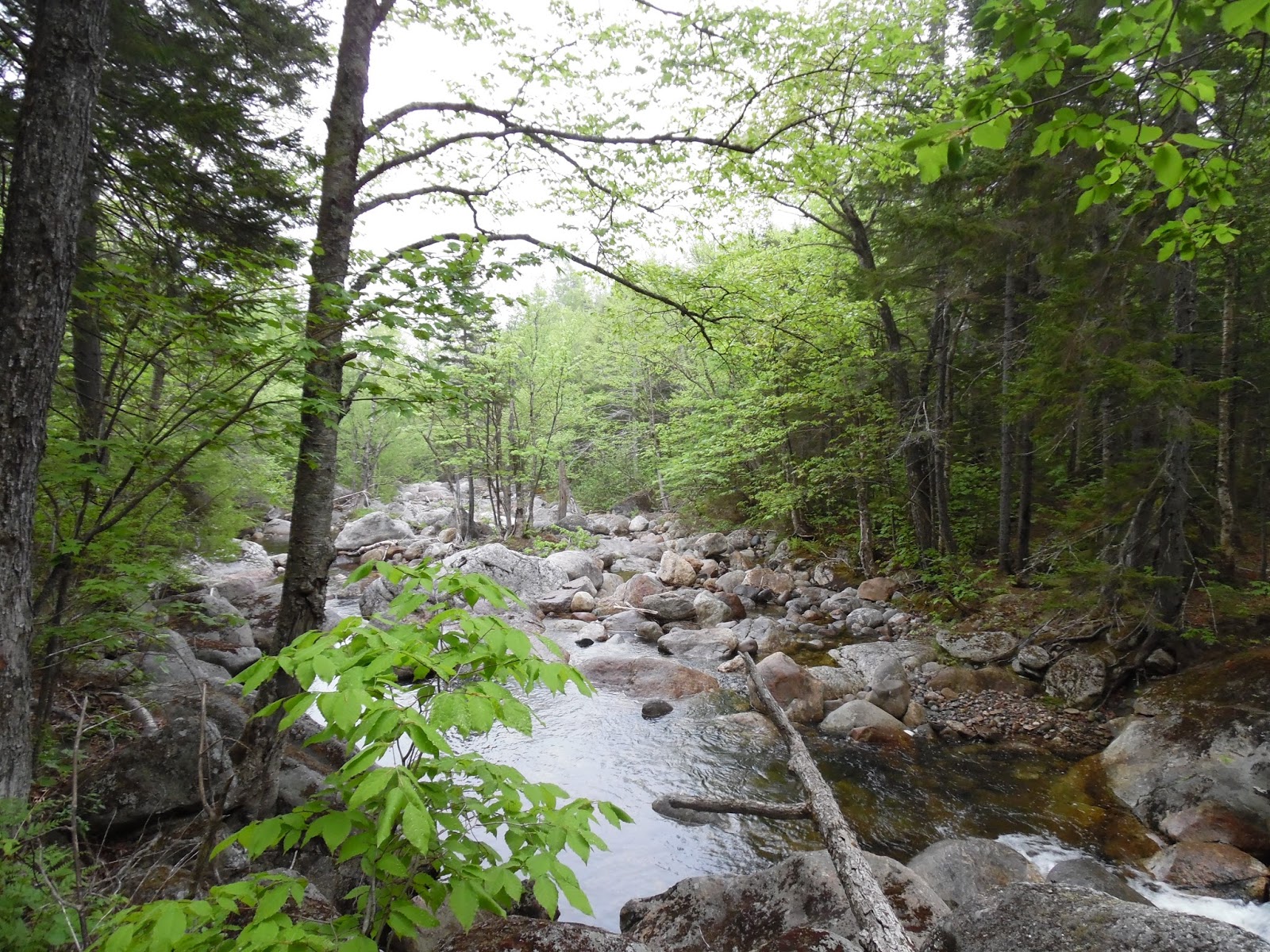 |
| Moriah Brook widening at one of the many crossings, as it approaches Wild River |
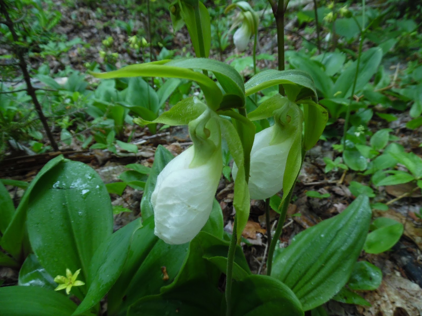 |
| Lady Slipper |
 |
| Great section of the Black Angel Trail heading towards Carter Dome |
After 8 or so miles of wandering in the Wild River Valley and it's many river crossings, I made it to the Black Angel Trail and the start of the 5 mile/~3,000' climb up to Carter Dome's flanks. I hiked this section uphill at a pretty slow pace after already having 20 miles on my legs and before I knew it I was joining back up with the Appalachian Trail/Carter-Moriah Trail and making my way back to the start of my run over the Wildcat peaks. Filling up water and grabbing some of their high-calorie gooey chocolate oatmeal snacks at Carter Notch Hut, I talked with one of the Croo members about ultrarunning, which he was into. I told him about the fun I had that day along this wonderful route and mentioned that he should run the Wapack and Back race my wife and I organize. Making my way across the Carter Lakes section and back up Wildcat A, I knew that almost all the climbing was over with and I coasted across the ridge and back to the top of the ski area. The footing along the access road was a relief and I made good time coming down the mountain in around 28 minutes.
 |
| That was a tough climb up Black Angel |
Mountain Splits
Wildcat D (Ski Area 4,062'): 45 minutes, 2.7 miles
Wildcat A (4,422'): 1:21, 4.4 miles
Carter Dome (4,832'): 2:15,
6.4 miles
South Carter (4,430') : 3:06, 8.4 miles
Middle Carter (4,610') : 3:28, 9.5 miles
Moriah Brook drop down: 4:38, 12.8 miles (after stopping at
Imp Shelter)
Start of Black Angel Trail uphill: 6:41, 20.4 miles (slow through
this section)
Carter Dome (visit #2): 8:35, 25 miles
Wildcat A (visit #2): 9:57, 27.6 miles
Wildcat D (visit #2): 10:33, 29 miles
Total trip: 10:59:21 total of 31.5 miles, 11,870’ climbing
Strava route info here


I feel this route and training run was a success and I thoroughly enjoyed getting out of my head for a long period and just experiencing the trail in front of me. It got me ready for the pace and footing I would encounter at the Manitou's Revenge 54 mile race, which I will be writing up a report about soon. I used the same shoes and socks that I was prepared to use at the Manitou's race, the Darn Tough Herringbone and Inov8 Roclite 315s, and in tandem they worked great on the wet rocks/swampy trail areas and I had no blisters at the finish. I would highly recommend this route to anyone that wants to bag a few peaks as well as do some remote wilderness wandering in one of the nicest areas I've seen in the White Mountains so far. Plenty more to explore though.
Strava route info here


I feel this route and training run was a success and I thoroughly enjoyed getting out of my head for a long period and just experiencing the trail in front of me. It got me ready for the pace and footing I would encounter at the Manitou's Revenge 54 mile race, which I will be writing up a report about soon. I used the same shoes and socks that I was prepared to use at the Manitou's race, the Darn Tough Herringbone and Inov8 Roclite 315s, and in tandem they worked great on the wet rocks/swampy trail areas and I had no blisters at the finish. I would highly recommend this route to anyone that wants to bag a few peaks as well as do some remote wilderness wandering in one of the nicest areas I've seen in the White Mountains so far. Plenty more to explore though.