|
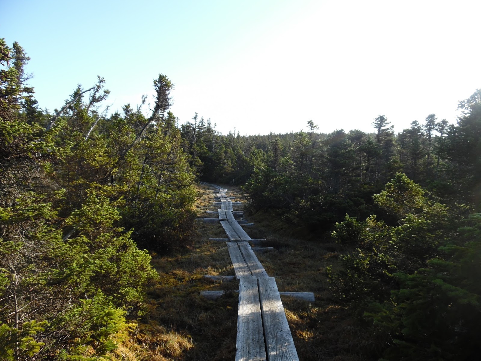
| First view of the day from the climb up Blackhead Mtn. |
I first heard about the Manitou’s Revenge Ultra when it was
originated in 2013 and immediately was drawn to its rugged, technical nature
and elevation profile. Additionally, getting to experience some running in the
Catskill Mountains of New York was high on my list since I have never spent any
time there. I’ve been following the results and race reports the past couple
years and this year finally decided to sign up and planned to make a family
trip out of it. Being only 3 hours away from Worcester, it was an easy drive and
my wife and I felt it would be fun to take the kids to and we could have
a long weekend to explore some of the trains and other attractions in the area.
The description on the race website sums it pretty well:
This is a grueling, gnarly, nasty course with approximately 15,000 ft.
of climbing, much of it rocky and precipitous. To be sure, there are some
runnable sections, but you will more often find yourself hiking uphill or down,
sometimes hand over hand.
My training from February through early June has all been to
prepare for this one race, the only race I’m signed up for this year so far. I ran the Goat Hill 50k in April as a prep race for this one and did a few
mountain runs to give my quads some practice on the uphills. Below is a chart
of what the last couple months have looked like for mileage and vertical (with
links to strava info):
Week of
|
Mileage
|
Vertical Gain
|
Key Workout (s)
|
4/18
|
44
|
6,903’
|
|
4/25
|
41
|
10,270’
|
|
5/2
|
11
|
2,884’
|
Hill repeats at Pisgah, most of the week off preparing for Wapack & Back
|
5/9
|
53
|
13,294’
|
|
5/16
|
37
|
5,551’
|
|
5/23
|
50
|
14,757’
|
|
5/30
|
35.5
|
9,383’
|
|
6/6
|
36.5
|
8,822’
|
|
6/13
|
61
|
15,280
|
I think I did a decent job of preparing for the race, making
every attempt I could to seeking out gnarly trails in the area and testing
myself on the hills trying to make improvements in cardio. I even got a new
pair of Inov8 Roclite 295s that I planned to wear for at least some of the
race.
 |
| My daughter Emma in front of our cottage for the weekend |
We arrived the day before and I picked up my race packet at
the pharmacy from Charlie Gadol, the RD. He recognized my name and mentioned
that he would like to come up to our area and run the Wapack and Back race that
my wife and I organize. I told him he should check it out next year and would
not be disappointed in the trails in that area. Since I have only run one other
50 miler - Wapack and Back in 2013 & 2014 - I was trying to compare my time
from those years to what I was projecting at Manitou’s. (Manitou’s would be a
little slower because of the increase in climbing).
We settled into the house we rented that was walking distance from the town and, most importantly, where I would catch the bus in the morning at 3:30am. The race course is set up as a point-to-point run from Windham, NY back to Phoenicia, NY, where we stayed. I went to bed around the same time as my kids with everything prepared for the next day and got a decent amount of sleep.
We settled into the house we rented that was walking distance from the town and, most importantly, where I would catch the bus in the morning at 3:30am. The race course is set up as a point-to-point run from Windham, NY back to Phoenicia, NY, where we stayed. I went to bed around the same time as my kids with everything prepared for the next day and got a decent amount of sleep.
 |
| Charlie giving the pre-race prep talk |
 |
| CD Lane Park - starting the race |
 |
| Wave 4 runners lining up |
I headed out the door for the hour bus ride through the
hills to the starting line at CD Lane Park, which was uneventful and went by
rather quickly. I was slated to start in the fourth wave, which would go 20
minutes after the wave 1 starters (there were waves of 15 starters, 5 mins. apart).
I started at 5:20am and Scott Gregor and I ran together for the first 6 miles
or so, along the paved section at first, then turning onto the Long Path for
the first climb of the day. We chatted a bit about upcoming races and our
projected pace for the day (we were both shooting for 13 hours) and I stopped
at the first viewpoint to take a photo as he went ahead. I wouldn’t see him
again until maybe 9 miles in when I caught up to him on a downhill section, and
then he lost me for good. He ended up going on to be third overall in 12:16, a
very good time on the course.
The next few miles I spent catching up to some of the wave 3
and wave 2 starters and offering words of encouragement to them as I went by.
We all knew we were in for a long day and I felt great in the early miles so I
tried to run well within my comfort zone at a pace I planned to hold for the
full 54 miles. I spotted Jeremy Merritt who was running the relay with his
friend Lars and I talked with him for a bit as we clicked off the miles. A
little further up the trail I ran with Sheryl Wheeler (last year’s winner), Mike, and Kevin. Mike informed me that I had passed enough people to be running in the middle of the first wave, about 2 hours into the race, which meant I had made up the 20 minutes from starting in wave 4. We continued for a while together and came into N/S Lake Aid Station shortly after, I felt great and filled up bottles there before quickly heading out. My strategy has been in the past few races to try to work efficiently and spend as little time as possible in the aid stations. Sheryl discussed the upcoming sections of the course with me and told me what to expect next. There were a couple sections through here that had a steep drop-off where the trail skirted by 50-80 foot cliffs, so I paid special attention to footing.
I went a bit ahead of Sheryl and caught up to Mitch Ball who was running at a similar pace to me. We ended up turning right at one of the junctions where we should have gone left and continued to run downhill and across the ridge to Inspiration Point and Layman's Monument. Unfortunately, we both did not notice this and continued on our way getting further off course. Mitch was having back spasms and said for me to go ahead because the downhills were bothering him. I ended up getting to a couple more junctions and stayed on a blue blazed trail which, about 2.5 miles in, ended up at a parking lot for hikers near North Road/Scutt Rd. After discussing with the hikers that I was the first runner they had seen and they had been there for a while, as well as a whole lot of swearing on my part, we determined that I went off course. I looked at maps with them and they helped to direct me back the way I came so I could link up with the marked course again. I made my way back to the race course feeling pretty down on myself for getting lost and not noticing for quite a distance.
I returned to the course and joined in running with some of the runners from wave 8 and they informed me they had plans to finish in 18 hours. I pushed the pace on this downhill and caught up to a few other people while making my way to the aid station about 2 hours later than I planned on. I fueled up there for the next long section to Platte Clove and headed back out on the course, which started with a long climb up a dirt road/jeep road. The trail would then cross some streams that offered some cool refreshing water to dip my hat in. Making my way through these sections I came across the first of several people that helped talk me out of dropping, which I wanted to do at the next aid station. Amy Hanlon helped me by letting me know she had finished all the other years and that last year there was thunderstorms while she ran the section we were at, and she said "If a middle-aged mother like me can finish this race, you can finish it". She was having issues with her ribs from a recent injury, but was still pushing on and determined to finish. She also stated that she would be checking the results and I had better have a good reason (like an injury) to have dropped, otherwise she wanted to see my name as a finisher. These two points stuck in my head as I made my way along the rest of the course. She ended up finishing the race and wrote about her experience here.
 |
| Beautiful view of Katterskill from a point way off-course |
I went a bit ahead of Sheryl and caught up to Mitch Ball who was running at a similar pace to me. We ended up turning right at one of the junctions where we should have gone left and continued to run downhill and across the ridge to Inspiration Point and Layman's Monument. Unfortunately, we both did not notice this and continued on our way getting further off course. Mitch was having back spasms and said for me to go ahead because the downhills were bothering him. I ended up getting to a couple more junctions and stayed on a blue blazed trail which, about 2.5 miles in, ended up at a parking lot for hikers near North Road/Scutt Rd. After discussing with the hikers that I was the first runner they had seen and they had been there for a while, as well as a whole lot of swearing on my part, we determined that I went off course. I looked at maps with them and they helped to direct me back the way I came so I could link up with the marked course again. I made my way back to the race course feeling pretty down on myself for getting lost and not noticing for quite a distance.
 |
| Looking back across the valley to Inspiration Point |
I returned to the course and joined in running with some of the runners from wave 8 and they informed me they had plans to finish in 18 hours. I pushed the pace on this downhill and caught up to a few other people while making my way to the aid station about 2 hours later than I planned on. I fueled up there for the next long section to Platte Clove and headed back out on the course, which started with a long climb up a dirt road/jeep road. The trail would then cross some streams that offered some cool refreshing water to dip my hat in. Making my way through these sections I came across the first of several people that helped talk me out of dropping, which I wanted to do at the next aid station. Amy Hanlon helped me by letting me know she had finished all the other years and that last year there was thunderstorms while she ran the section we were at, and she said "If a middle-aged mother like me can finish this race, you can finish it". She was having issues with her ribs from a recent injury, but was still pushing on and determined to finish. She also stated that she would be checking the results and I had better have a good reason (like an injury) to have dropped, otherwise she wanted to see my name as a finisher. These two points stuck in my head as I made my way along the rest of the course. She ended up finishing the race and wrote about her experience here.
 |
| The kids greeting me at Platte Clove, mile 36ish |
I came into the Platte Clove Aid Station about two hours after I expected and my family was there to greet me, as well as Jeremy Merritt. He had finished his portion of the race (31.5 miles) and his buddy Lars was taking over for the remaining miles of the relay race. I discussed with my family and Jeremy how I was dropping and they convinced me that I wasn't allowed to and that I had to continue on through the next tough section on the Devil's Path. I spent about 10 minutes at Platte Clove and made my way across the 7.5 mile/3,000' vert section to the next aid station where I was hoping to see Jeremy to catch a ride back to Phoenicia and drop out. Climbing up Indian Head I came across Jim Terribilini and he let me know that he was going to convince me over the next mile or so that I was not going to drop from the race. He described the remaining parts of the course in detail, since he had finished last year in the wet weather, and the way he did so made me think that the hardest parts of the course were already done. He was actually correct in some ways and I did find the later miles to be a little easier with less climbing.
Coming into Mink Hollow Aid Station, I expected to see Jeremy for my ride back to town. I told myself that if he is not there, then I am going to continue to the finish and as it turned out he was not. This ended up being the best thing that could happen to me at the time, with a ride to town out of my mind, I focused only on finishing. I felt great through this section, grabbed some aid at the table - mostly fruit and a water/tailwind fill up - and headed out just as Jim caught up to me. There was a ~1,200' climb going up Plateau Mtn. and then a few more small climbs remaining on the route and I started to come alive. After I reached mile 42 or so, all the muscles of my legs that were feeling fatigue through most of the middle of the race stopped hurting and I was able to pick up the pace and start passing a few people again. From Mink Hollow to Silver Hollow to Willow Aid Stations was a blur and I spent very little time at the stations trying to limit the time wasted. I was taking in fruit and had some broth at Willow which really helped since the gels I had were not appealing to me. I got to the top of the final 3 mile downhill down Mt. Tremper, put my headlamp on and ran into someone who was unsure if he was on the right trail or not. I pulled out my map and used the app on my phone the RD provided and let him know he was on the right trail and we continued downhill to the final, short road section.
I passed a couple other people along this last downhill and noticed that there was something large running down near the course. I came across Mitch (that I got lost with earlier in the day), who had dropped and was hiking up to meet his friend, and he confirmed that he had seen a bear running across the trail. Grabbing my reflective vest, I "quickly" made my way down the road towards the finish line about a mile away. Coming into the finish line, I felt great and relieved that the run was completed and that I did not drop out when I wanted to several times. I grabbed some of the race food and had a beer with my wife and told her about my day. It was too late in the day for my kids to greet me at the finish, but I was glad to see Amanda and get a ride back to the cottage.
 |
| Above the trees view along the course, most of the views were through trees |
Coming into Mink Hollow Aid Station, I expected to see Jeremy for my ride back to town. I told myself that if he is not there, then I am going to continue to the finish and as it turned out he was not. This ended up being the best thing that could happen to me at the time, with a ride to town out of my mind, I focused only on finishing. I felt great through this section, grabbed some aid at the table - mostly fruit and a water/tailwind fill up - and headed out just as Jim caught up to me. There was a ~1,200' climb going up Plateau Mtn. and then a few more small climbs remaining on the route and I started to come alive. After I reached mile 42 or so, all the muscles of my legs that were feeling fatigue through most of the middle of the race stopped hurting and I was able to pick up the pace and start passing a few people again. From Mink Hollow to Silver Hollow to Willow Aid Stations was a blur and I spent very little time at the stations trying to limit the time wasted. I was taking in fruit and had some broth at Willow which really helped since the gels I had were not appealing to me. I got to the top of the final 3 mile downhill down Mt. Tremper, put my headlamp on and ran into someone who was unsure if he was on the right trail or not. I pulled out my map and used the app on my phone the RD provided and let him know he was on the right trail and we continued downhill to the final, short road section.
I passed a couple other people along this last downhill and noticed that there was something large running down near the course. I came across Mitch (that I got lost with earlier in the day), who had dropped and was hiking up to meet his friend, and he confirmed that he had seen a bear running across the trail. Grabbing my reflective vest, I "quickly" made my way down the road towards the finish line about a mile away. Coming into the finish line, I felt great and relieved that the run was completed and that I did not drop out when I wanted to several times. I grabbed some of the race food and had a beer with my wife and told her about my day. It was too late in the day for my kids to greet me at the finish, but I was glad to see Amanda and get a ride back to the cottage.
 |
| Emma tired out after a long day |
 |
| After finishing with a huge plate of food |
Splits to Aid Stations:
Dutchers - 1:55, 10.3 miles, 11:09/mile
N/S Lake - 3:13, 17.5 miles, 11:01/mile
Palenville - 5:18, 21.5 miles (+5 bonus miles for me), 12:28/mile
Platte Clove - 7:53, 36.5 (with bonus miles included), 12:57/mile
(really bummed through this section about getting lost, and was ready to drop
at this aid station)
Mink Hollow - 11:19, 43.5, 15:36/mile
Silver Hollow - 12:54, 48.5, 15:57/mile
Willow - 15:29, 53.5, 17:21/mile
Finish - 16:23:41, 59 miles, 16:40/mile overall pace
Full results
Most of the Strava GPS Track
Last 6 miles of the course GPS Track
I want to thank all the volunteers, the race director, and all the runners I came across that helped me along the way. This was a great race and I would highly recommend it if you want a technical, scenic race through some beautiful forests and mountains. The race was well organized and aid stations were placed well, especially as the miles got slower for me at the end. I'll be back to try again for a 12 or 13 hour finish, sometime in the next couple years. My wife, kids, and brother-in-law were super supportive and made the trip a great time.
As far as future plans go, I have one trip planned in July to take another shot at completing an AMC Hut Traverse. I attempted this route in 2014, but stopped short of the final hut by 1.5 miles due to heat exhaustion. My foot placement that day would not connect with my mind and I started to get nervous so I dropped out reaching my car at Old Bridal Path. (Read the writeup here) The Standard Hut Traverse route is 50 miles that also requires a 3.9 mile hike in and 1.6 mile hike out, so the actual mileage is around 54.5 with a vertical climbing total of 16,800'. After the traverse, I plan on taking it easy the rest of the summer keeping a goal of completing the Midstate Trail (92.5) miles in one run sometime in September.